Guides
Getting slow road travel right the first time
Slow road travel planning for 2027: setting a realistic daily distance, reading a route's real conditions, budgeting honestly, and checking before you drive.
What to take away
- Slow road travel is a distance decision before it is a destination decision.
- Surface, services and season decide whether a road is drivable. Scenery does not.
- The agency that manages a road describes it honestly.
- Anything time sensitive gets rechecked with the managing office in the week you drive.
Driving slowly across the United States is less romantic than it sounds and more rewarding than it looks on paper. The work is arithmetic. You decide how far you are willing to move in a day, then find out what stands between you and that number: gravel, grades, closed gates, and long gaps between fuel stops.
Start with miles per day
Most trips fail because the driver picks places first and distance second. Reverse it. Pick a daily ceiling you can hold on the worst day of the trip, then let the map fill in around it.
A workable starting point looks like this:
Daily distance ceilings by surface
- Paved two lane, towns180-220 mi
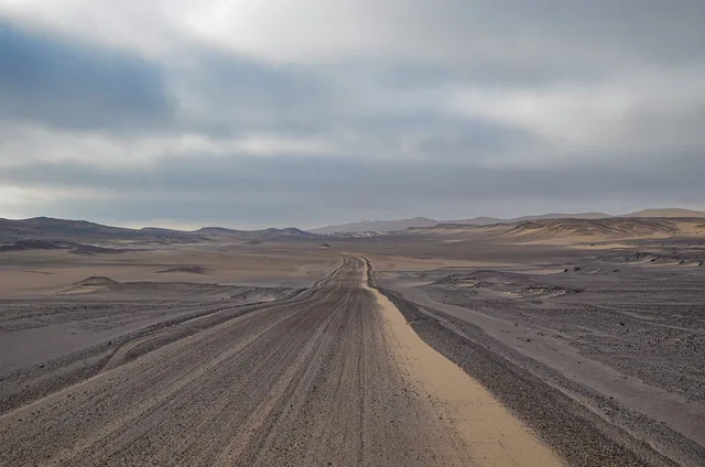
- Paved two lane, empty150 mi
- Maintained gravelhalf paved
- Rough/sandy/high clearanceown day
| Surface | Typical daily ceiling | What sets it |
|---|---|---|
| Paved two-lane | 250 to 350 miles | Fuel stops and speed limits |
| Gravel or graded dirt | 120 to 180 miles | Dust, washboard, slower safe speed |
| Rough backcountry | 50 to 100 miles | Grades, gates, navigation, no services |
Those are planning figures, not promises.
Read the route the way its manager writes it
Public land agencies describe their own roads in unglamorous detail, which is what you want. The Bureau of Land Management's preparation guidance for visitors, titled Know Before You Go, points readers to site-specific rules, maps, fire restrictions, permits and fees, and safety basics before a trip.
Conditions are local. A national summary cannot stand in for the field office that maintains the road.
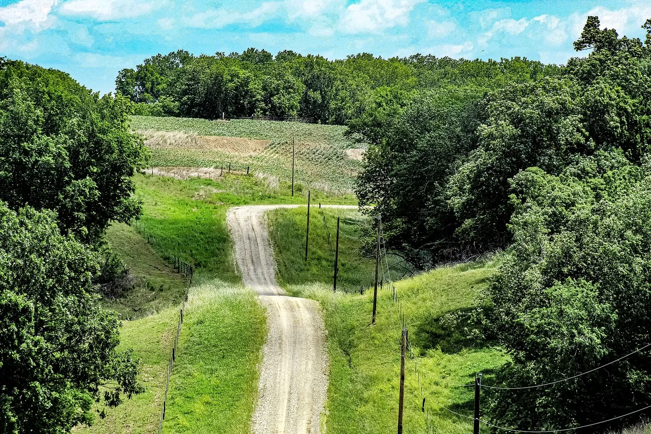
Read the description of the specific route, not the region. A drive that carries a scenic designation may still be a graded surface with no fuel, no water and no phone signal.
What a short byway teaches about preparation
The BLM's Smithsonian Butte Back Country Byway page describes a route of about 9.25 miles between Rockville and Apple Valley in Utah.
Two warnings matter more than the mileage: it often becomes impassable during heavy rain and bad winter weather, and no services are available along it. The same page lists no accessible facilities.
Other routes test the same discipline. The Denali Highway in Alaska runs about 135 miles of mostly gravel between Paxson and Cantwell, with long fuel gaps. The Kancamagus Highway in New Hampshire is 34 miles of paved road with no services along it.
What it costs
Fuel: a 150 mile day at 25 mpg uses 6 gallons, so cost follows the local pump price. Camping: BLM dispersed sites are usually free; developed campgrounds typically run $15 to $30 a night. Site fees: many national parks charge $20 to $35 per vehicle for a week.
Carry cash for self-serve fee tubes, and check the managing office page for permit costs.
Sequence the planning
| Stage | What you settle | When |
|---|---|---|
| 1 | Daily distance ceiling and total days | First |
| 2 | Corridor and rough overnight towns | Early |
| 3 | Surface, grade and seasonal status of each segment | Before booking |
| 4 | Fuel, water and food gaps, written down | Before booking |
| 5 | Reservations, permits and fees | After stage 4 |
| 6 | Call the managing office for current conditions | Week of travel |
Stages three and four are the ones people skip, and the ones that turn a slow trip into a bad one. Note where you lose phone service, tell someone your route and return time, and carry a paper map.
Next steps: season and budget
Two decisions come before booking. First, choosing the season, because snow closes high passes and desert heat closes low ones. Second, run your own numbers with what driving, sleeping and site fees add up to. Then call the managing office for the route you picked and confirm current conditions.
Common questions
How slow is slow enough?
Do I need a high clearance vehicle?
How much fuel margin is sensible?
What should I recheck before leaving?
In this guide
- Picking travel dates that keep a slow road trip open, not closedSeason sets what a slow road trip can include. How closures, heat and mud narrow the calendar, and how to pick dates that match the route you want.
- Water, fuel, and navigation: the real packing list for slow road travelA packing list built around the failures that actually happen on remote roads: water, fuel, recovery gear, navigation that works without a phone signal.
- Slow road travel cost: fuel by region and federal land feesSlow road travel cost, split by what scales with miles and with nights: regional pump prices, the federal pass and park entry fees, and the padding to keep.
- How to find local help for slow road travel: four free sourcesFour free sources of local help for a slow road trip, where to find each one, what it knows, and a short call plan to run before you hire a guide.
- Slow road travel accessible options: two BLM byway examplesSlow road travel accessible options on two New Mexico BLM byways, with page details on road surfaces, parking, water, restrooms and nearby services.