Rules
Part of Getting slow road travel right the first time
Slow road travel accessible options: two BLM byway examples
Slow road travel accessible options on two New Mexico BLM byways, with page details on road surfaces, parking, water, restrooms and nearby services.
What to take away
- A drive can be genuinely usable while every facility along it is not. Those are separate questions.
- Some route pages publish real measurements. Those are the pages worth planning around.
- Restrooms, water and surface at the parking area matter more than the mileage.
- A route with no accessible facilities is not a route to discover at the halfway point.
For slow road travel accessible options, start with route pages that publish specifics. The word accessible on a travel page usually means somebody thought about it. It rarely tells you the width of a door or the surface underfoot. On back roads the useful sources are the route pages that publish specifics. A drive that works from inside a vehicle can still fail the moment you need to get out.
Split the trip into two questions
The first question is whether the driving itself works: surface, grade, road width, and how long you are committed once you start. The second is whether the stops work: parking surface, toilet type, shade, signage, and whether there is any water at all.
Agencies answer these separately, and so should your planning notes.
Back Road Trip Checks
- Can vehicle do road without recovery gear?
- Can you exit onto firm, level surface?
- Is there a toilet, and what kind?
- Is there drinking water, or how far?
- What is exit plan if conditions change?
A route page that answers properly
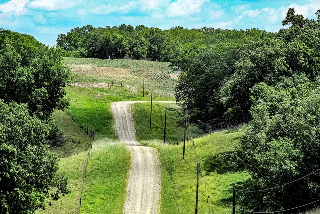
The BLM's page for the Guadalupe Back Country Byway in New Mexico is unusually specific. It says the byway is designed to be enjoyed from the comfort of a vehicle. The road is in good condition and does not require a four wheel drive vehicle. The two interpretive parking areas are deeply graveled but level.
The page describes the interpretive signs as shaded, sitting on a concrete pad with about a one inch lip, and printed large enough to read at a distance.
It is equally clear about what is missing: no potable water and no restrooms along the byway, with the nearest food, gas and water roughly 12.5 miles away in Carlsbad. That is a route you can plan around with confidence, precisely because it does not oversell itself.
When facilities are the reason to go
Some drives are short and paved because the point is the stops. The BLM describes the Wild Rivers Back Country Byway in New Mexico as a thirteen mile two lane paved loop. It reaches day use parking areas, a visitor center, five campgrounds and a scenic overlook.
The page says plainly that enjoying the area means being able to drive or ride thirteen miles on a paved road at moderate speed. The same page lists day use and camping fees and notes that visitor center hours have been limited by staffing.
Short, paved and served is a real category. For many travelers it is the better trip.
Questions to ask the managing office
Call the field office named on the route page. Ask about the toilet type at each stop and the surface between parking and the viewpoint. Ask whether any accessible site can be reserved rather than taken first come, and what the road does after rain. Ask when someone last visited the site in person.
Where to go next
Surface and season decide most of this, so read the seasonal picture alongside it. The wider order of planning, which puts road conditions ahead of destinations, is in the main slow road guide.