Rules
Which of the five slow road travel shapes actually suits a disabled traveler?
Which slow road trip shapes work best for disabled travelers, and how detailed site descriptions let you decide before you drive rather than on arrival.

Section
Rules
Which slow road trip shapes work best for disabled travelers, and how detailed site descriptions let you decide before you drive rather than on arrival.
Rules
Backroad routes in the US meet ADA and state DOT rules unevenly, from Pacific Coast Highway overlooks to the Kancamagus Highway in New Hampshire.
Rules
Scenic road trips in the Rockies depend on NPS and state DOT closure schedules for Going-to-the-Sun Road, Tioga Pass and the Million Dollar Highway.
Rules
Historic highways from Missoula north to the Canadian line: CBP and CBSA documents, insurance proof, firearm and food declarations, plus Montana pass checks.
Rules
Historic highways like Route 66 cross eight states, and speed limits, vehicle rules and preservation grants shift at every line. Here is what changes.
Rules
Small-town road trips in the Deep South run past local speed traps, fine schedules and state DOT rules. Here is what AAA and the states say.
Rules
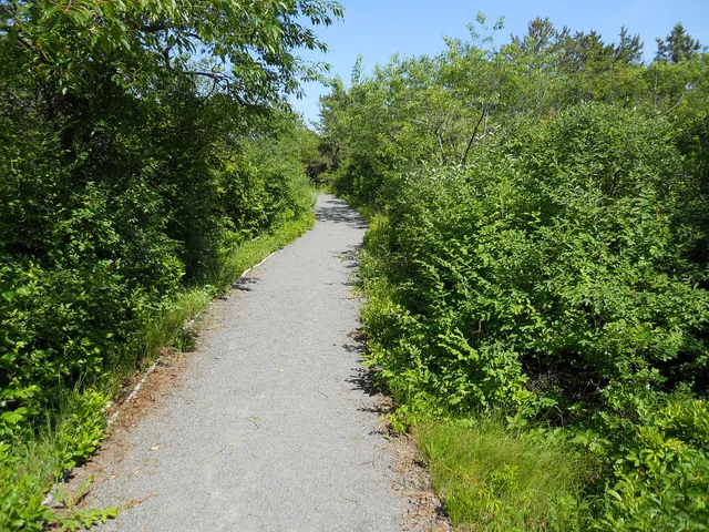
Slow travel mistakes: accessible options are in the detail agency pages publish — parking counts, path surfaces, closures — so check before you commit.
Rules
Accessible facilities on public land rarely carry a surcharge, so the real costs are fuel, time and the detour to a confirmed accessible restroom stop.
Rules
Slow road travel accessible options on two New Mexico BLM byways, with page details on road surfaces, parking, water, restrooms and nearby services.