Industry
Part of Two documented examples show how a slow road corridor and anchor site work
Who actually holds the records for a slow road case study route?
Who to ask about a slow road route: which office holds the records, why cultural sites are managed under law, and what a small visitor center is good for.
What to take away
- Cultural sites on public land are managed under specific statutes, which shapes what you may be told.
- Small visitor centers are often the best source of practical detail about a nearby road.
- Ask the office that manages the ground, not the office nearest to your hotel.
- Different patterns need different sources. Match the question to the desk.
Local knowledge is not one thing. A question about a rock art site, a question about a gravel road and a question about where to unload a trailer all go to different people, and getting the right desk first time saves a day.
Cultural sites come with a legal framework
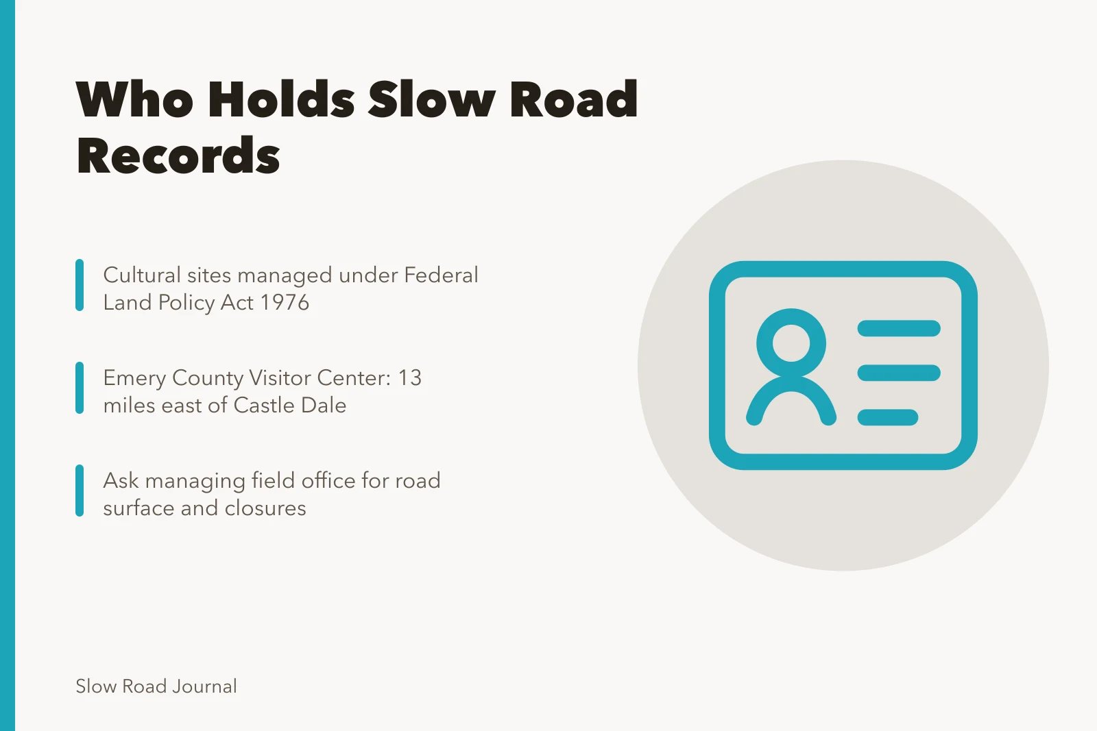
Where your interest is history or archaeology, it helps to know why the answers are sometimes guarded. The BLM's page on cultural resource management explains that cultural resources are a fragile and limited resource, an irreplaceable part of the nation's heritage. Management on public land is primarily determined by the Federal Land Policy and Management Act of 1976.
The National Historic Preservation Act of 1966 also mandates cultural resource management. Its section 106 ensures resources are managed according to their relative importance and protected against impairment, destruction and inadvertent loss.
That is why a field office may describe a general area rather than give you coordinates. It is not obstruction. It is the statute. A field office that guards coordinates will still tell you which months the gates open, and that timing shapes any slow road travel plan.
Small visitor centers answer practical questions
For roads, water and unloading space, small centers are often better than large ones.
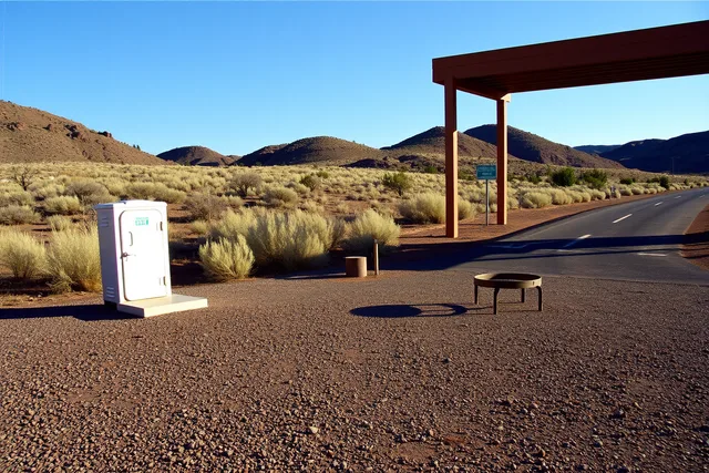
The BLM's page for the Emery County Visitor Center in Utah describes a site at the Buckhorn intersection, about thirteen miles east of Castle Dale. It has picnic tables, pit vault toilets and a building covered with information and maps for the northern San Rafael Swell.
The page notes it is a good place to unload off highway vehicles for a few hours of riding.
Maps on a wall, toilets, and somewhere to unload. That is the practical end of local knowledge, and it is exactly what a driver needs at nine in the morning.
Matching the question to the desk
| Question | Best source |
|---|---|
| Road surface and closures | Managing field office |
| Where to unload or park a trailer | Nearest visitor center |
| What a site is and why it matters | Interpretive center or cultural resources staff |
| Whether an operator is permitted | The office that issued the permit |
| What the town has open this month | A business in the town |
Asking well
Give your question a date and a place. Instead of asking whether a road is rough, ask what the surface was like last week on a named road and who checked it.
Instead of asking what there is to see, ask which site in the area has an interpretive panel and a toilet. Specific questions get specific answers, and those answers let you plan.
Where to go next
Which shape of trip you are researching changes who you should call, and five slow road patterns sets those shapes out. For the general habit of using local sources to avoid errors, see how local guides help you avoid mistakes.