Features
Part of Two documented examples show how a slow road corridor and anchor site work
Do all five slow road patterns tolerate the same hard month?
Matching season to trip shape in 2027: which patterns tolerate a hard month, which need a narrow window, and how site pages tell you which is which.
What to take away
- Corridor and anchor trips tolerate difficult months. Remote out and backs do not.
- Some campgrounds are open all year and free, which makes shoulder season travel easy.
- Far northern routes have a short season and require you to arrive in person to claim a site.
- Where a site has no phone signal, the season affects your ability to book as well as to drive.
Season interacts with trip shape more than with destination. The same month can be perfect for a paved corridor and unwise for a committed run into remote country, and the site pages usually make the difference obvious.
Short seasons and in person rules
Northern routes compress the year and add procedures.
The BLM's page for the Arctic Circle Campground in Alaska calls the site a natural stop for anyone driving up the Dalton Highway. It describes a mixed forest hillside site at the Arctic Circle, fully renovated in 2021, half a mile east and uphill from the Dalton Highway and the Arctic Circle sign, with 19 accessible campsites.
The booking arrangement is the seasonal lesson: sites are first come, first served only, and visitors must arrive in person to claim and buy one.
Pay by scanning a code with the federal booking application once on site. The page says to download that application before arrival, since the area has limited or no phone service.
A short season plus an in person rule plus no signal is three constraints in one paragraph. That is a trip to plan carefully and not to improvise.
All year sites make shoulder travel easy
At the other extreme, some sites remove the seasonal question entirely.
The BLM's page for Chosa Campground in New Mexico describes a 3.5 acre pipe rail fenced pad. It has a trash container, parking for recreational vehicles and space to pitch tents. The fee free site sits between two national parks, eleven miles south of Carlsbad Caverns and twenty seven miles north of Guadalupe Mountains on Highway 62.
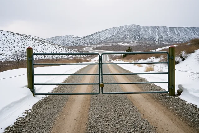
A free, fenced, all year pad between two parks is exactly what makes a shoulder season corridor trip work. You are not depending on a booking, a season or a gate. A free pad with no gate removes the booking risk that slow travel mistakes costs often trace back to.
Matching season to pattern
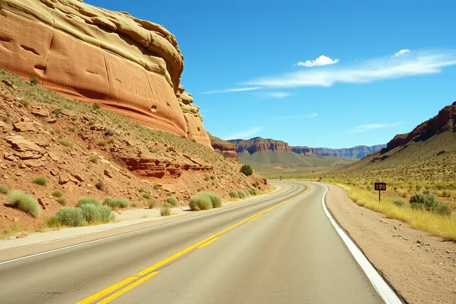
- Corridor:almost any month on pavement. Avoid only extreme heat and ice.
- Anchor:check the site's own opening days, which are often narrower than the road's season.
- Loop from a base town:good in shoulder season, when the town is quiet and rooms are cheaper.
- Connector:needs a dry forecast and a checked surface, so prefer the settled part of the year.
- Remote out and back:the narrowest window of all. Take the easy season and the long days.
The question to ask first
For any trip, ask what happens if the weather turns on the second day. On a corridor you drive on. On a remote out and back you may not be able to. That difference, more than any calendar, is what should set your dates.
Where to go next
The five shapes and what each one asks for are set out in five slow road patterns. For seasonal traps that catch people out regardless of shape, see the seasonal mistakes worth avoiding.