Rules
Part of Four slow travel mistakes: road closures, posted notices, and weather
Slow travel mistakes: check accessible options first
Slow travel mistakes: accessible options are in the detail agency pages publish — parking counts, path surfaces, closures — so check before you commit.
What to take away
- Some agency pages publish parking counts, path surfaces and sign heights. Use those pages first.
- A gap in a paving stone path is the sort of detail that decides a visit. It is often written down.
- Where detail is missing, phone.
The usual accessibility mistake on a slow road trip is taking the word accessible on a listing at face value. The second is planning a whole day around a facility that turns out to be shut. Both are avoidable, because a number of agency pages now publish the specifics that let you check accessible options before you drive.
Read the pages that publish measurements
Some site pages describe their facilities in real detail. The BLM's page for the Kanab Visitor Center in Utah, one of four centers in Grand Staircase Escalante National Monument, states that the paved parking lot has 33 striped spaces.
Two of them near the main entrance are marked accessible and share a vehicle access aisle with a ramp or lift.
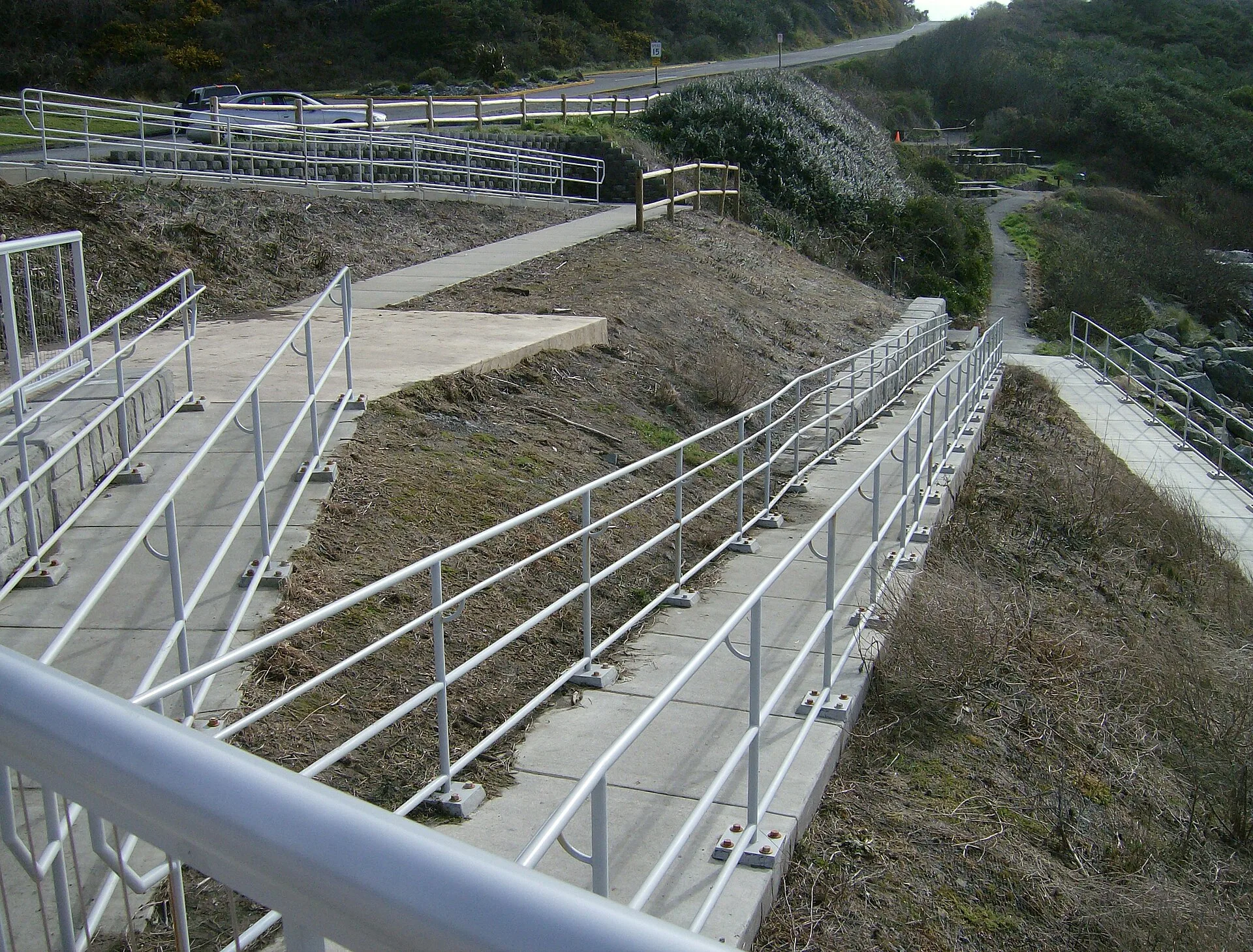
Paved sidewalks lead from the parking area to the center. Three exterior restroom entrances each contain an accessible flush toilet. Travelers needing confirmed facilities can compare these measurements with the accessible options for slow road travel before committing to a route.
It is equally specific about the parts that do not work. Some paths to interpretive signs are made of paving stones separated by small gaps with loose stones on the surface. One sign can only be reached by traveling on gravel or climbing uneven steps cut into a stone wall.
That is what a usable accessibility description looks like. It lets you decide before you drive.
Check that it is open before you plan around it
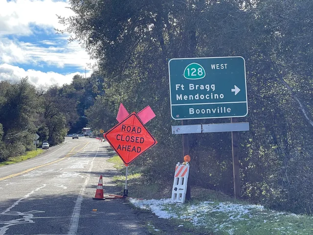
Detail is worthless if the doors are locked. The BLM's page for the Cannonville Visitor Center in Utah notes the center is closed until further notice, with no reopening date given as of this writing.
It also lists two accessible paved parking spaces beside a cement path to the main building, a ramp at the main entrance, and a covered kiosk and interpretive signs at appropriate heights along the path.
The same page notes the center sits at the north end of Cottonwood Canyon Road. That rugged 47 mile dirt road connects Utah State Route 12 with Highway 89. The page adds it is generally open mid March to mid November.
That seasonal window prevents most slow travel mistakes.
A well described facility, a seasonal window and a current closure notice, all on one page. Read all three.
The mistakes, in order of how much they cost
The mistakes, in order
- Choosing a viewpoint stop without checking the ground between the parking area and the sign.
- Assuming a ramp covers the whole route rather than one step of it.
- Assuming a toilet is accessible because the site is.
- Planning without a second option for the same day.
Building the day so a failure is survivable
Choose one primary stop and one alternative within a reasonable distance, and confirm both. Keep the unpaved section, if there is one, in the middle of the day. Write down the number of the field office that manages the site — the agency page lists it — and keep it on paper.
Make the phone call before you leave signal rather than after, while the answer can still change the plan. If the primary stop turns out to be closed, you lose an hour rather than the trip.
Where to go next
The general errors that spoil slow trips are in how to avoid slow travel mistakes. For how to judge whether a route itself works, see accessible options for slow road travel.
Utah is not the only source of this detail. The National Park Service publishes accessibility pages for individual parks, and state park systems publish their own for state sites.
Two habits make those pages useful: check the date of the last update, and read the sections on restrooms and parking first.