Features
Fifteen kinds of historic highway: how to tell the real ones from signage
Fifteen kinds of historic American road, what each one preserves, and how to tell a route that still carries its history from one that only carries a sign.
What to take away
- A list of fifteen named roads goes stale and reads as an endorsement. Fifteen kinds of historic highway, each attached to a road you can look up, does not.
- What makes a road historic is usually the surviving alignment, not the marker beside it.
- Emigrant trails, mining roads and early auto highways ask for completely different preparation.
- Where an agency page names a road and describes it, that description is worth more than any list.
The question worth asking is which kind of history a road preserves. That sets what you see, how hard the driving is, and whether the route is open in the month you are free. Each of the fifteen kinds below carries a real road, with the facts that tell you whether to plan around it.
Fifteen kinds of historic highway, each with a real route
1. The surviving early auto highway: the Historic National Road. Begun in 1811 as the first federally funded highway, it still runs its old alignment as US 40 from Cumberland, Maryland, through Zanesville, Ohio, to Vandalia, Illinois. It holds an All-American Road designation.
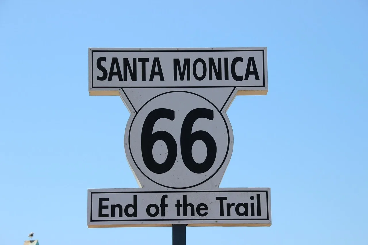
2. The bypassed main street: Seligman, Arizona. Interstate 40 took the through traffic, and the old Route 66 main street stayed behind. Angel Delgadillo, who helped found the Historic Route 66 Association of Arizona, still keeps a barber shop on it.
3. The emigrant wagon route: Independence Rock, Wyoming. This state historic site beside Wyoming Highway 220, southwest of Casper, holds emigrant names cut into the granite. Trail ruts survive in the prairie around it.
4. The military or supply road: the Alaska Highway. The Army Corps of Engineers built it in 1942. It runs about 1,390 miles, mostly paved now, from Dawson Creek, British Columbia, to Delta Junction, Alaska.
5. The stage and freight road: Apache Pass Road, Arizona. It follows the Butterfield Overland stage line through southeastern Arizona, past Fort Bowie National Historic Site. The fort itself is a 1.5-mile walk from the trailhead.
6. The mining access road: the Alpine Loop, Colorado. The byway strings 65 miles of four-wheel-drive road between Ouray, Silverton and Lake City, over Cinnamon and Engineer passes, both above 12,000 feet. High clearance is required, and the high passes usually open by July.
7. The railroad grade turned road: Rollins Pass Road, Colorado. It climbs the old Moffat Road railroad grade to about 11,660 feet, past the closed Needle's Eye Tunnel. The surface is rough enough that most drivers want high clearance.
8. The ranch and stock driveway: Texas FM 170. The River Road follows the Rio Grande for roughly 50 miles between Presidio and Big Bend Ranch State Park, on pavement with cattle guards, open range and gates you close behind you.
9. The dam and reclamation road: US 93 across Hoover Dam. The dam road carried through traffic until the 2010 bridge opened. It now ends at a checkpoint and a parking garage, and dam tours run about $15 to $30, with parking extra.
10. The forest and timber haul road: the Aufderheide Memorial Drive, Oregon. Forest Road 19 runs about 60 miles through the Willamette National Forest between Westfir and Rainbow, built in the 1920s and 1930s. It is narrow, partly unpaved, and log trucks keep the right of way.
11. The mission and colonial trade route: El Camino Real de Tierra Adentro. The national historic trail runs 404 miles from El Paso, Texas, to Ohkay Owingeh, New Mexico, linking mission churches and pueblos along the Rio Grande.
12. The river corridor road: the Great River Road. It follows the Mississippi for about 3,000 miles through ten states, marked by a green pilot's wheel sign, and was established in 1938.
13. The pass road: Colorado 82 over Independence Pass. The summit sits at 12,095 feet, and the highway usually closes from early November to late May. Vehicles longer than 35 feet are not allowed.
14. The border and customs route: Vermont Route 5 through Derby Line. The Haskell Free Library and Opera House straddles the Canada line here, with the boundary painted across the reading room floor.
15. The one nobody markets: Parke County, Indiana. The county keeps 31 covered bridges, most of them on county roads, and a festival each October. A bridge, a cemetery and a one-room school are the whole draw.
Two documented examples
Some designations preserve a genuine original alignment. The BLM describes the Route 66 Oatman Road Back Country Byway in Arizona as a 42-mile stretch of two-lane paved blacktop. It is one of the last and best preserved segments of the original highway.
Over Sitgreaves Pass, between Golden Valley and the historic town of Oatman, the vehicle length limit is 40 feet. The BLM recommends automatic transmission because of steep grades.
The emigrant category reads differently. The BLM's Main Oregon Trail Back Country Byway in Idaho runs 89 miles from the Snake River crossing near Glenns Ferry toward Bonneville Point, with trail ruts visible along much of it.
The page says the byway roads are paved or good gravel, and four wheel drive is not needed. High clearance may be required to reach the trail off it, and the trip from Boise takes about eight hours.
How to judge any of them
Signage is cheap, and alignment is not. A route that keeps its original grade, its bridges and the towns on it is the real thing; a modern highway with brown signs is a marker trail.
- Is the original alignment intact, or has it been replaced and signposted?
- What is the surface now, and who maintains it?
- Is there interpretation on the ground, or only in a museum forty miles away?
- Does the route still pass through inhabited places, or only past them?
Where to go next
Fitting one of these routes into real days is the practical problem, and how to plan a historic route without rushing it works through it. For the stops that make a long drive worth breaking, see which sites are worth adding.
Common questions
Why attach a road to each kind?
Which kind is easiest for a first trip?
Are ruts really visible?
Do I need a guide for any of these?
In this guide
- A photographer's field list for historic highway routesWhat to shoot and carry on Route 66, the Lincoln Highway, the Natchez Trace and the Blue Ridge Parkway: signs at dusk, old alignments, access hours, dust and roadside safety.
- How to compare guided tours on historic highways by the interpretation they includeNamed operators on historic highways, what each day includes, and five questions that separate real interpretation from a seat and a route map.
- Which roadside stops actually earn a detour on a historic highway?How to choose stops that earn their detour on a historic route, with two documented roadside sites that show what a good short stop actually offers.
- 5 points on historic highway routes cost that matterCosting a two day historic route weekend: mileage as the anchor figure, site fees, where the money goes, and the padding that keeps the budget honest.
- Elevation, not mileage: pacing a historic highway route properlyPlanning a historic route at a pace that works: elevation and grade, loops instead of point to point, and leaving the last hour of the day unbooked.